GHNP Trekking Planner & Estimator
Plan your expedition by selecting which valley systems you intend to traverse. This tool estimates total walking distance and required days based on average trekking speeds in the region.
Select routes above and click calculate to see your plan.
You might think you know India's trekking scene. Maybe you've hiked the steep paths of Darjeeling or navigated the misty hills of Munnar. But when people ask, "Which is the longest walking trail in India?" the answer isn't a single, paved highway stretching from Kashmir to Kanyakumari. It's not even one specific marked path like the Appalachian Trail in the US. Instead, it refers to a massive network of interconnected routes that allow for continuous walking over hundreds of kilometers. The standout contender here is the Great Himalayan National Park (GHNP) trail system in Himachal Pradesh, which offers some of the most extensive and challenging multi-day trekking experiences in the country.
Why does this matter to you? If you're planning a serious expedition, you need to understand that "longest" in the Indian context often means "most connected." You aren't just walking from Point A to Point B. You are traversing ancient shepherd routes, glacial valleys, and high-altitude passes that have been used for centuries. This article breaks down why GHNP tops the list, how it compares to other long-distance options like the Spiti Valley circuits, and what you actually need to prepare for such a journey.
Understanding the Concept of "Longest" in Indian Trekking
In many Western countries, a "trail" is a defined line on a map with markers every mile. In India, especially in the Himalayas, trails are fluid. They change with the seasons, snowmelt, and local usage. When we talk about the longest walking trail, we are usually talking about the capacity for continuous, supported trekking without backtracking. The Great Himalayan National Park stands out because its internal network connects multiple entry points, allowing trekkers to design loops or linear journeys exceeding 100 kilometers.
This distinction is crucial. If you look at the Kashmir Great Lakes Trek, it covers about 75-80 km. Impressive, but not the longest. Compare that to the Spiti Circuit, which can easily exceed 300 km if you include side trips, but much of it is road-walking rather than pure trail hiking. GHNP offers a rare blend: genuine off-road trekking across diverse ecosystems that can be strung together into a marathon-length adventure.
The Great Himalayan National Park: Why It Wins
Located in the Kullu district of Himachal Pradesh, the Great Himalayan National Park was declared a UNESCO World Heritage Site in 2014 due to its exceptional biodiversity. It’s not just a park; it’s a labyrinth of valleys including Tirthan, Sainj, Jiwa, and Parvati. Each valley has its own trailheads, and they connect via high passes like Raghupurchna and Pin Parvati.
Here’s the math that makes it the longest option for serious walkers:
- Tirthan Valley Trails: Start from Gushaini. Walk up to Jalori Pass (3,120 m). Continue through Chail village. Total distance for this segment alone can reach 40-50 km depending on your route choices.
- Sainj Valley Trails: Connects to Tirthan via the Shali Pass. Trekkers often do a loop combining both valleys, adding another 60-80 km of rugged terrain.
- Jiwa and Parvati Valleys: These remote sections offer trails that stretch deep into the interior, connecting to places like Shangarh and Rashol. Adding these extends the potential walking distance significantly.
If you combine the Tirthan-Sainj loop with extensions into the upper reaches of the Jiwa valley, you can easily plan a 10-14 day trek covering over 120 km of pure footpath. No other single national park in India offers this kind of contiguous, non-motorized walking space at such high altitudes.
Comparison with Other Major Long-Distance Routes
To give you a fair perspective, let’s stack GHNP against other famous candidates. Is there anything longer? Technically, yes, if you count road walks. But for pure trekking, GHNP holds the crown for connectivity.
| Trail System | Approx. Continuous Walking Distance | Terrain Type | Difficulty Level |
|---|---|---|---|
| Great Himalayan National Park (Combined Loop) | 120 - 150 km | Mixed forest, alpine meadows, high passes | Moderate to Hard |
| Pin Parvati Pass Trek | 90 - 100 km | Glacial, rocky, high altitude | Hard |
| Kashmir Great Lakes | 75 - 80 km | Meadows, lakes, gentle slopes | Moderate |
| Spiti Valley Circuit | 300+ km (mostly road) | Road, dirt tracks, villages | Easy to Moderate (walking) |
| Gangotri Glacier Trek | 100 km (round trip) | Rocky moraine, glacier approach | Hard |
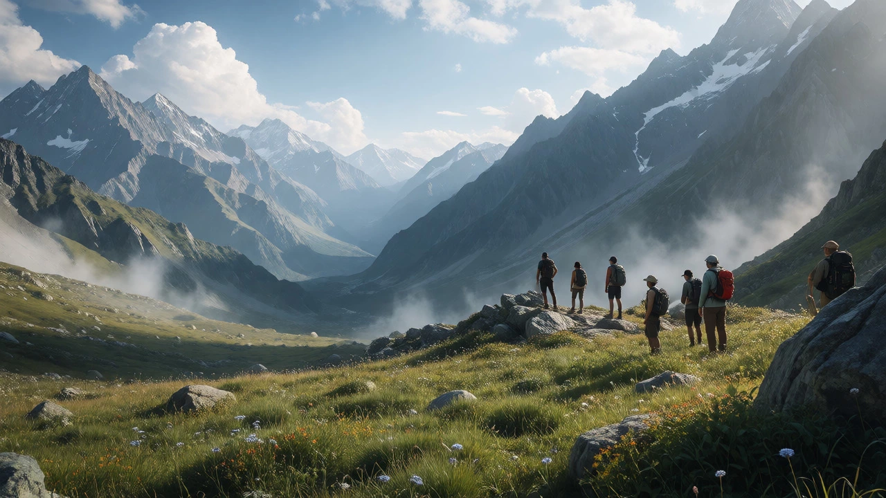
Notice the pattern? The Spiti Circuit is physically longer, but you spend 70% of your time dodging trucks on tarmac. The Pin Parvati Pass is brutal and beautiful, but it’s a point-to-point trek with less flexibility for extension. GHNP gives you the freedom to walk for two weeks without seeing a car, which is the true spirit of a "walking trail."
Planning Your Expedition: Logistics and Permits
You can’t just show up and start walking. The Great Himalayan National Park requires permits, and rules are strict to protect the ecosystem. Here is what you need to know before booking flights to Delhi.
Permits: You must obtain an entry permit from the Forest Department office in Kullu or online via the HP Tourism portal. Foreign nationals pay a higher fee than Indians. Carry your ID proof. Without a permit, you will be turned back at the checkpoint in Gushaini or Sainj.
Best Time to Go: Timing is everything. The trails open from May to October. June to September brings monsoon rains, making the lower valleys lush but the high passes risky due to landslides. October is arguably the best month-crisp air, clear views, and dry trails. Avoid winter unless you are an expert mountaineer; snow closes most passes.
Guides and Porters: While independent trekking is allowed in some zones, hiring a local guide is highly recommended. The trails are unmarked. One wrong turn in the dense pine forests of Tirthan can lead you miles off course. Local guides also handle interactions with wildlife guards, who patrol the area for illegal hunting.
What to Expect on the Trail
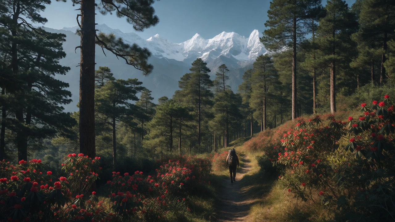
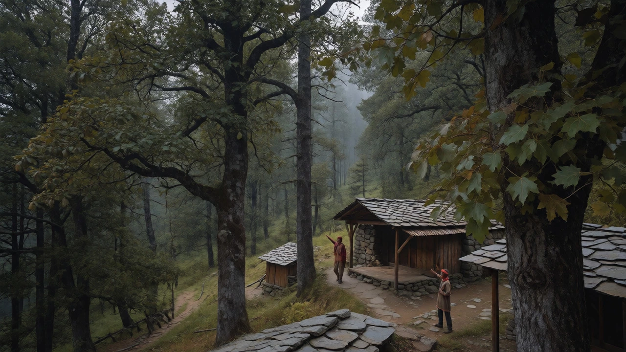
Walking the GHNP trails is a sensory overload. You start in subtropical forests filled with chir pines and rhododendrons. As you climb, the trees thin out, replaced by oak and maple. Above 3,000 meters, you enter the alpine zone-open meadows where wildflowers bloom in July and August.
You will encounter:
- Wildlife: The park is home to the Snow Leopard, Blue Sheep, and Monal Pheasant. Spotting them requires patience. Keep noise levels low.
- Accommodation: There are no hotels inside the core zone. You either camp or stay in basic forest rest houses (FRHs) located at key junctions like Shangarh and Rashol. Book FRHs in advance; they fill up fast during peak season.
- Food: Pack high-energy snacks. Dried fruits, nuts, and energy bars are essential. Villages on the periphery offer simple vegetarian meals, but don’t expect variety once you’re deep in the park.
The physical demand is real. Altitude sickness is a risk above 3,500 meters. Acclimatize properly. Spend two nights at intermediate camps before pushing for the highest passes. Hydrate constantly. Dehydration accelerates AMS symptoms faster than exertion.
Alternative Contenders: If Not GHNP, Then What?
If the logistics of GHNP feel too complex, consider the Nanda Devi Biosphere Reserve in Uttarakhand. It offers similar length and isolation but is more restricted. Access requires special inner-line permits, and only registered groups are allowed in certain zones. It’s harder to organize independently.
Another option is the Ladakh Trans-Himalayan Network. While not a single "trail," the network of shepherd paths between Leh, Hemis, and Markha Valley allows for extended treks. However, the landscape is barren compared to the green abundance of GHNP. If you prefer stark beauty over lush forests, Ladakh wins. For biodiversity and varied terrain, GHNP remains superior.
Remember, the "longest" trail is subjective based on your definition of walking. If you want pavement, take the Grand Trunk Road. If you want wilderness, choose GHNP.
Frequently Asked Questions
Is there a single marked long-distance trail in India like the Appalachian Trail?
No, India does not have a single, continuously marked long-distance trail comparable to the Appalachian Trail. Most long-distance trekking involves linking various traditional shepherd routes and pilgrimage paths. The Great Himalayan National Park offers the closest experience to a continuous wilderness walking network.
How many days does it take to complete the longest trek in GHNP?
A comprehensive loop covering the Tirthan and Sainj valleys, with extensions into the upper reaches, typically takes 10 to 14 days. This covers approximately 120-150 km. Shorter versions focusing on just one valley can be done in 4-6 days.
Do I need a guide for the Great Himalayan National Park trek?
While not strictly mandatory for all zones, it is strongly recommended. The trails are not well-marked, and navigation can be difficult in dense forests or foggy conditions. Local guides also assist with permit checks and wildlife safety protocols.
Can I trek the Great Himalayan National Park in winter?
Most high passes close in winter due to heavy snowfall. Lower valleys like Tirthan remain accessible, but trekking opportunities are limited. The main trekking season runs from May to October, with September and October being ideal for clear skies and stable weather.
What is the cost of permits for the Great Himalayan National Park?
Fees vary by nationality. Indian citizens pay a nominal entry fee, while foreign nationals pay a higher rate. Additional charges apply for camping and using forest rest houses. Always check the latest rates on the official Himachal Pradesh Tourism website as prices are subject to change.
Next Steps for Your Adventure
If you’re ready to tackle India’s longest walking network, start by securing your flight to Bhuntar Airport near Kullu. From there, hire a taxi to Gushaini, the gateway to Tirthan Valley. Check current permit availability online. Pack layers, waterproof boots, and a positive attitude. The trails are tough, but the solitude is worth every step.